Community United By Its Past
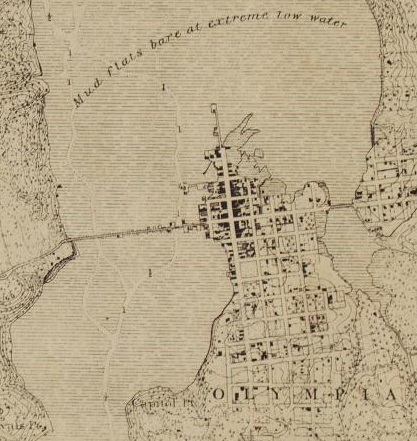
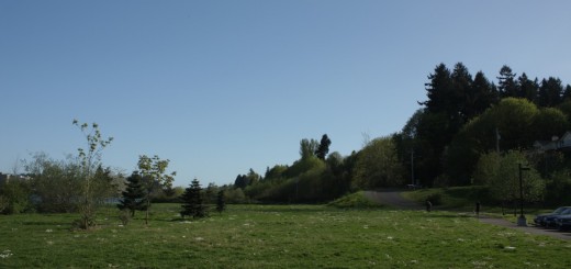
West Bay Park is in the upper left corner, under water
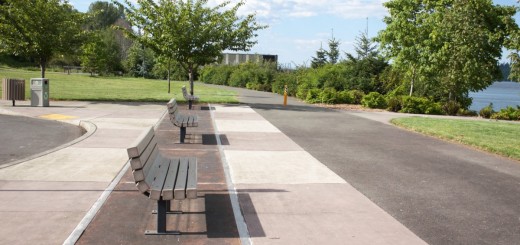
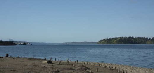
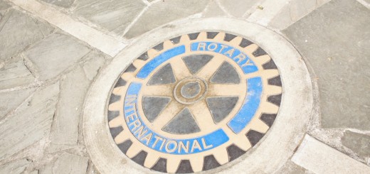
West Bay Park was a portion of unused land in downtown Olympia near West Bay. It wasn’t actively protected until about 2007, when the city Rotary saw potential in the land. They wanted to protect the beach trails and surrounding forests. They wanted to create a “panoramic view” of the city of Olympia. From the Rotary Point, you can see Mt Rainier, the capitol building, downtown Olympia, and the port. The park was funded half by a grant by Washington Wildlife and Recreation Coalition and half by the Rotary. The goal of the park was to give something to the community that represented it well.
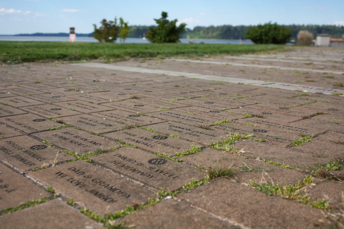
All over the walkways are bricks with community names in them. I assume the rotary made this decision to have the park tell a story about what the community is made of. There are many names and phrases used, you can see them in my other blog post here.
I can only imagine this part of Olympia was used pre-settler for getting access to the water by native tribes, as it seems like it would be easy to launch
For more information visit the following sites
For Rotary
For the parks plan
For a map of the park
NEXT
1 Response
[…] NEXT […]