Twin Firs
Breathe in, breathe out
The lungs of the forest drop one by one
Slowly each disappear
But each leaves a trace
Breathe in, breathe out
This trace provides life
It is the breath of the forest
Without it the forest suffocates
Trees crumble and flowers shrivel
Breathe in, breathe out
Humans have stolen the breath of life
Selfish greed and unchecked consumption
We suffocate the forest
Leaving an endless path of death
The lungs of the forest grasp for a last puff
Breathe in, breathe out, once more
We watch in awe at out destructive powers
Each exhaled breath is poison
Breathe in, breathe out
The lungs of the earth have died
And soon we shall follow
Breathe in, breathe out, no more–Marissa Scoville
Structure & Geology
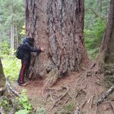
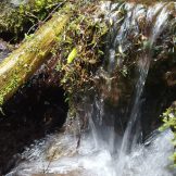
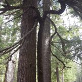
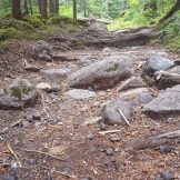
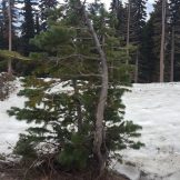
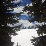
Twin Firs is an old growth forest, is densely populated with vegetation and has a varying steep gradient. Its elevation is 740 meters and is a sub alpine zone. There are few rocks in this area but the few I found were andesitic. Lastly multiple streams run threw this area which helps create a nutrient flow.
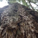
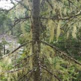
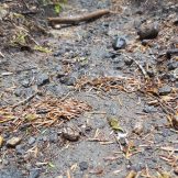
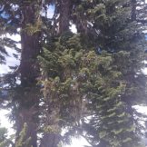
The soil in twin firs is very fertile. It is dark in color meaning its nitrogen rich and the old growth, nurse logs/stumps and dense vegetation provided a good nutrient flow. This has allowed the trees to grow at a normal rate making the old growth massive compared to the old growth at cougar rock were the trees were much smaller. Indicators of the old growth was candelabras, broomstick branches and the internal twisting of the trunk.
Cougar Rock
Structure & Geology
This area is an old growth forest with a gentle gradient and heavily influenced by humans with roads, trails and campgrounds. Despite their small size, these trees are in fact old growth, this can be identified by the candelabras, broomstick branches and the internal twisting of the truck. Their tiny size is due to poor soil, in the past there was eruption from Mount Rainer that caused lots volcanic ash to land in this area. Volcanic ash is not very fertile creating poor soil composition that makes it harder for trees or any plant to grow.
I believe a glacier my have once moved though cougar rock campground. This area is riddled with boulders in an otherwise rock-less area. The boulders could have gotten there one of two ways, either humans placed them there or a glacier dropped them as it was receding. Due to the fact the boulders had a far level of erosion on them I would have to guess it had been there longer then when humans could have placed them, meaning a glacier must have been the force that brought them to cougar rock.
Nisqually River
Structure & Geology
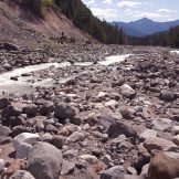
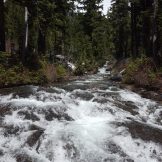
The Nisqually river has a large river path. Currently the Nisqually is only a fraction of the size of the river path it resides in, however during floods this river will grow in size to fill the whole river path or force a new path to be made. The Nisqually is very high energy which results in the large grain size of the rocks. The river has a mild gradient.
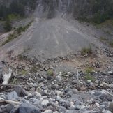
The location of the Nisqually is in a large U-shaped valley. This means it was most likely carved by a glacier. It is between Mount Rainer and Tatoosh, which means there will be multiple rock types found here such as basalt, rhyolite andesite and granodiortie. The Tatoosh ridge looks as though it could be a landslide zone because of its steepness and loose rocks.
Narada Falls
Structure & Geology
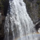
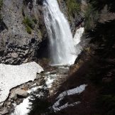
Narada falls is a waterfall formed by the paradise river. The path down to the view point is covered by a receding snow pack, which leaves parts of the path exposed and muddy due to the snowmelt. The water falls also let off a constant spray of mist contributs to the muddiness of path.
Andesitic lava flows from Mount Rainer which hardened into the older valleys of the Tatoosh which are made of granodiortie. The andesitic flows then hardened into a formation called columns. Other time the water from the falls erodes the overlaying andesitic flows and exposes the granodirote.
Paradise Two
Structure & Geology
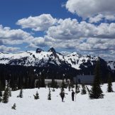
Paradise looks out over a U-shaped valley with a river and at the Tatoosh range. Looking in the other direction you would see a parking lot, some buildings and the peak of Mount Rainer.
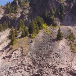
The Tatoosh range has fourteen peaks and was formed through volcanism and subduction of the Juana Fuca plate subducting below the North American plate. The Tatoosh range is light gray in the lower areas and reddish dark gray in the peaks. These colors are produced by the rock type that dominates these peaks. The lower parts are granodiorite which it the light gray color and the upper peaks are volcanic rocks which gives them reddish dark gray color.
The valley between Mount Rainer and the Tatoosh Range is U-shaped meaning it was carved by a glacier. The Nisqually Glacier once moved through this area and carved out the valley. Since that time it has receded from the valley and now a small river, that most likely feeds into the Nisqually river, flows there.
Paradise One
Structure & Geology
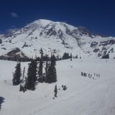
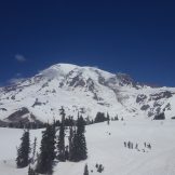
Paradise one looks out at the peak of mount Rainer. From the parking lot you can see the many humans made structures and a receding snow pack. Here the elevation is 1629 meters and is in the alpine zone.
The sub alpine firs in this area grow in a what look like patterned clumps, the largest and oldest tree in the middle and progressively smaller ones circle it and make the clump larger. My hypotheses for why the may have grown this way is to help with nutrient flow and help protect each other from the elements that prove deadly on Mount Rainer such as the wind and snow.
Mount Rainer its self has an interesting geology. It formed on top of another old volcano made of granodiortie. Its eruptions have masked the granodiortie with is andesitic flows. This means the core of Mouth Rainer is grandodiorite. It is a stratovolcano and has 24 remaining glaciers on it.
Co-authored by Marissa, Adelle, Eric and Randa
