Michael Crouch
Unit Presentation Arts
Presentation of Unit:
- A description of the unit using stage 1 of UBD framework:
- As a result of this lesson, students will be able to understand the concept of boundaries and use technology to explore it
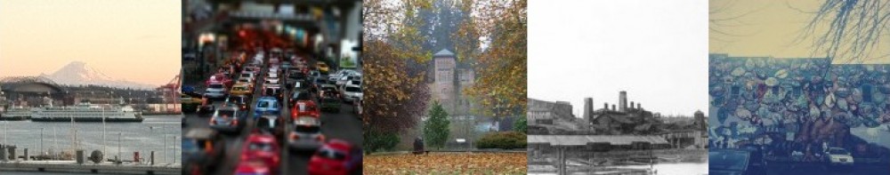
- Students will be able to identify the different ways that the word boundaries is used, to include political boundaries, social boundaries, interpersonal boundaries, cultural boundaries, and boundaries between varied terrain
- Essential Question: What is a boundary and in what ways can we define it?
- As a secondary outcome, students will explore the use of GIS software in order to better understand the geography concepts
- Geography Standards: understand the areas of the world and the boundaries between them
- Tech Standards: gain a working knowledge of software that promotes exploration within content areas
- A stage 2 detailed description of the assignment:
- The assignment that students will work on in order to use technology to better understand boundaries is to use GIS to analyze what boundaries exist between people and physical features. Following some non-technological lessons that get students to think about the different boundaries that exist in our world, they will be introduced to GIS software. They will then analyze maps that show different types of data and boundaries in Tacoma (for example: political maps, ethnic representation maps, religious representation maps, climate and terrain maps). They will pick three different types of boundaries they see represented and create an overlay of their own that shows the three different types of boundaries all on the same map. Then they will take turns presenting the boundaries they analyzed and how they have come to understand the concept of boundaries.
- Disciplinary learning objective: Analyze and understand maps; connect data on maps to significant social studies themes
- Overarching goal for the unit: Understand the different definitions and implications of the concept of boundaries; depict data on maps that show applications of the concept of boundaries
- Links or references to 4 resources that a teacher can use in this topic:
- STEM website; Geospatial Technology; http://www.isat.jmu.edu/stem/curriculum.html; tons of useful applications of GIS, including sample lessons for teachers
- ESRI website; http://edcommunity.esri.com/Resources; this site has tons of information about how to use GIS and ArcGIS, to include ideas for educational settings
- Lamont, M., Molnar, V (2002). The Study of Boundaries in the Social Sciences, Annual Review of Sociology, Vol. 28, p. 167-195. This is an article that discusses in great depth the variety of boundaries that exist between people. Very interesting.
- Map Technica Website. http://www.maptechnica.com; This site shows numerous types of maps and their potential uses. Very helpful in identifying different types of boundaries.
- Written explanation of technology use:
- Using this map technology would help students visualize the different types of boundaries that exist in our town. The technology gives the students an exciting and interactive way to see how the concept plays out in Tacoma and the students can explore the different demographics that represent boundaries. The technology is fun for them and is directly related to the content objectives.
- I would need to ensure access to GIS for the class and I would also have to have a high level of proficiency in the program in order to facilitate the lesson using GIS and field students’ questions. I would also need to anticipate a high level of student interest in being on computers and the distractions/abuse of the computers that may become an issue. Unique classroom management considerations would have to be made since the students would be on computers and interacting to complete the project.
- A self-assessment of my skill in using and teaching with this tool:
- I would have to practice using the tool and see how effective I can be using it. My self assessment would involve trying to complete the unit activities myself and seeing how well I can do them and imagine students doing the activities.
- A plan for how to develop my skills in this area:
- For developing lessons that use technology to reach content standards, there are resources available in the district. There are technology standards that can be used to guide the lessons that I create. In addition to this, districts and schools usually have technology professionals that can be consulted when questions or concerns arise. Finally, research and colleagues’ experience would come in handy when I need help developing these lessons, as they can sometimes be complex or challenging to connect with content standards and district goals.
- There are plenty of resources online that help a teacher like me learn about good uses of technology in class. The resources that are listed above help to explain the application of GIS and in searching for tools online, I came across numerous websites that offer helpful advice on applying technology in the classroom.
- The above resources also offer helpful models of how to use GIS and other tech tools for classrooms. My plan is to use these and many other online tools to find examples of teachers using technology that I can learn from and emulate.